

“Workboat navigation and water depth measurement can be performed by one single person”
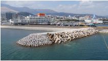
The Beppu port in Kyushu, Japan, is bustling with 10 million tons of cargo and 700,000 tourists a year. A number of coastal revetments protect this port from typhoon and other flood disasters. Some of the structures are old, built in the latter part of the 19th Century.
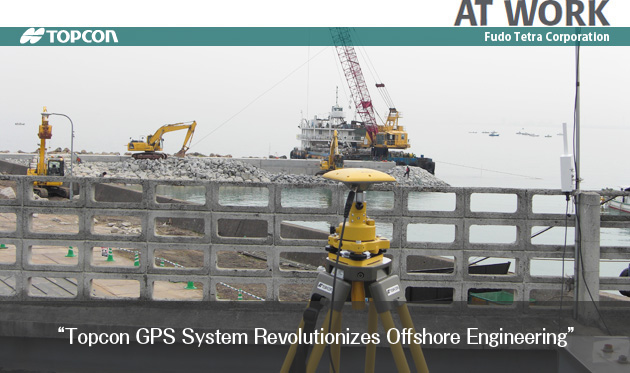
Fudo Tetra Corporation, one of the Japanese leading contractors in offshore engineering and soil improvement technologies, undertook the construction of new riprap revetments designed to improve both flood control capability and landscape of the area.
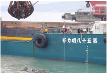
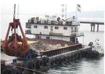
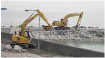
To build a riprap revetment, a huge volume of broken rocks are submerged into the sea by using workboats. The contractor used two total stations on the shore in order to position a workboat in the proper location to dump the load of rocks. An additional operator was needed on the workboat to measure water depth.
“With the Topcon GPS system, workboat navigation and water depth measurement can be performed by one single person, reducing time and labor costs enormously,” said one of the engineers of Fudo Tetra. “We can make real-time comparison between blueprint and as-built survey data. That is another great advantage of this system.”
He said, “We used to anchor a number of flagpoles to clearly locate the dumping area. But now, we can accurately navigate the workboat by GPS eliminating the need for flags or other physical markers.”
Fudo Tetra is convinced the performance of Topcon GPS systems saves the company time and money and is planning to utilize GPS for other earthwork projects.
COMPANY:Fudo Tetra Corporation
Project:GPS Receiver HiPer Pro / LEGACY+
REGION:Japan