

“Topcon’s post processing software is exceptionally user-friendly and makes everything easier”
The Korean government has been expanding the geodetic reference network in the country utilizing GNSS technologies. In 2007, the National Geographic Information Institute initiated the grand project to establish the integrated reference stations that have an average interval of 10km.
Korea Ocean Science & Engineering Corporation (KOSEC) undertook this governmental infrastructure project. In 2008, KOSEC successfully completed the reference stations in the Gyeonggi-do area where the national capital Seoul is located. Since 2009, KOSEC has been working to locate new GNSS reference stations across the country.
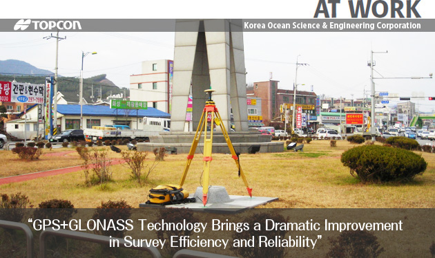
This project involves high-precision, long baseline measurements for each triangular grid. “GNSS static survey method satisfies the accuracy requirement, but it needs a considerably long observation time,” said Chun-Deuk Han, managing director of KOSEC. “In order to maximize work efficiency, we organized a number of survey teams with a total of 10 sets of Topcon GB-1000 dual-frequency GNSS receivers. This strategy achieved five times faster survey works compared to the ordinary ‘4 receivers per 2 triangles’ procedures.”
Han said, “Topcon GNSS receiver constantly tracks satellite signals even in areas where overhead visibility is limited, thus providing the most reliable data. The GPS plus GLONASS technology brought a dramatic improvement in survey efficiency and reliability, even beyond our expectations. The additional GLONASS signals are indispensable for our static surveys.”
Coordinate values of each station is determined through baseline computation and net adjustment using Topcon GNSS-Pro* post processing software. “Post processing is the most difficult work in the GNSS surveying. But Topcon GNSS-Pro software is exceptionally user-friendly and makes everything easier,” said Han. “Even a beginner can make full use of this software. It encourages them to learn more about GNSS survey techniques.”
Han said KOSEC has accomplished a number of remarkable achievements in large scale control point survey projects using Topcon GNSS solutions, which include control surveys for the KTX (Korea Train eXpress) and a national gas line network. The company was also instrumental in surveying GIS reference points for the airport network, as well as survey for the Korean coordinate system transformation into WGS-84 geocentric coordinate system.
* GNSS-Pro software is available in Korean and Japanese markets, which fully conforms to the specific survey regulations of those countries.


COMPANY:Korea Ocean Science & Engineering Corporation