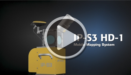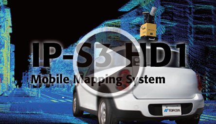

Mobile Mapping System IP-S3 HD1

- Easy mounting setup
- Ultra-compact and lightweight design
- High-speed and high-density point cloud acquisition
- Portable carrying case ensures security
- Efficient for mapping and GIS data updating
- World’s first Play Back function to check and review the acquired data
Highly effective to obtain 3D spatial information in shorter time and in lower cost
Ultra-compact, lightweight

The IP-S3, in a twice as compact design as its predecessor, enables mounting and set up even on a small car which can drive relatively narrow street.
Only one person is required to mount and dismount the system on to and from a car roof.
Acquire high-density point cloud data
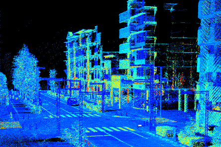
IP-S3 obtains high-quality data.
High-speed scanning of 700,000 points-per-second provides detailed shapes of objects along the driving route.
Six 5 MP cameras, capture the high-resolution image data of 360 degrees around the car.
Instant preview of acquired data

Play back function to view the data along with the driving route, just after completing the session.
This ensure if the data covers what are necessary to acquire, before return to the office.
Portable carrying case for easy transport and secure storage

A portable carrying case is provided to protect the system for transportation and storage.
It can be easily taken to a secure area to avoid damage or theft during overnight trips.
Position, image and point cloud data all are collectively acquired

3D point cloud data can be utilized for a variety of applications
Topo measurement at civil engineering site
Topographic Mapping
Investigation at Steep slope surface
Landscape Simulation
High-speed and more automated post-processing software
Mobile Master Field (MMF) software
The MMF software monitors and controls IP-S3 data acquisition with simple operation.

- With intuitive menus, operation in the cockpit is stress-free.
- Status of all connected sensors can be monitored in real time.
- The included Play Back function to preview the acquired data along with the driven route to check, before going back to the office, if all the necessary area has been measured and data are captured.
Mobile Master Office (MMO) software
The MMO software is the post-processing software for PC’s which provides intuitive and speedy data processing and analysis with a new processing engine.

- Capable to quickly display a large volume of point cloud data and provide smooth operation for data processing and analysis.
- Improved accuracy of car position and trajectory with the enhanced processing engine.